

LADY ELLIOT ISLAND IS A WORLD HERITAGE LISTED, GREAT BARRIER REEF ISLAND ECOSYSTEM
Catfish has been working with the Lady Elliot Island team since the fitting out of the education centre on the island back in 2012. Teaming up with the Google Seaview Project and Underwater Australia with funding from T-Qual, the area was fitted out with interps, infographics and 360 degree images of the surrounding reef and bombies, including species profiles of the amazing local birds, turtles and sea life to educate guests, divers, schools and day visitors.
There is a whole suite of factsheets and guest guides created to maximise the adventure of the guest experience, including maps of the walking and snorkelling trails, interps, island signage and wayfinding.


Working with the marketing team on Lady Elliot Island
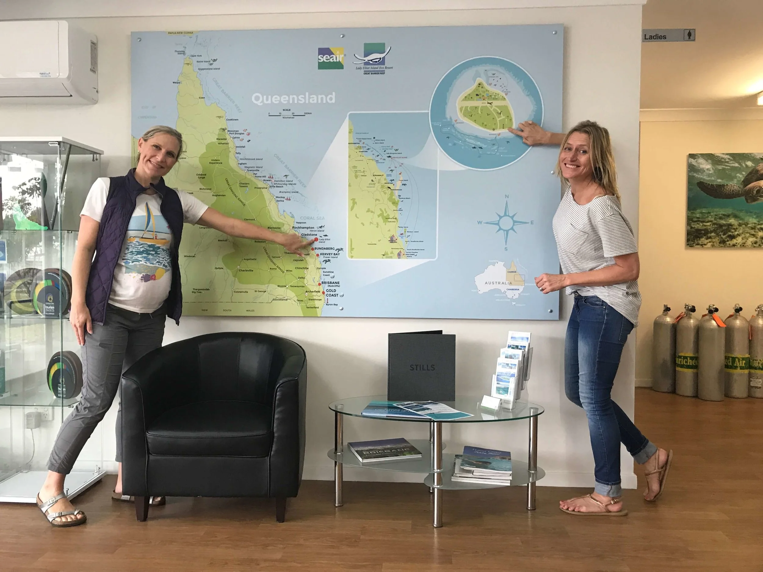
The completed wall map graphic installed at the Seair office